 __:__:__
 __:__:__
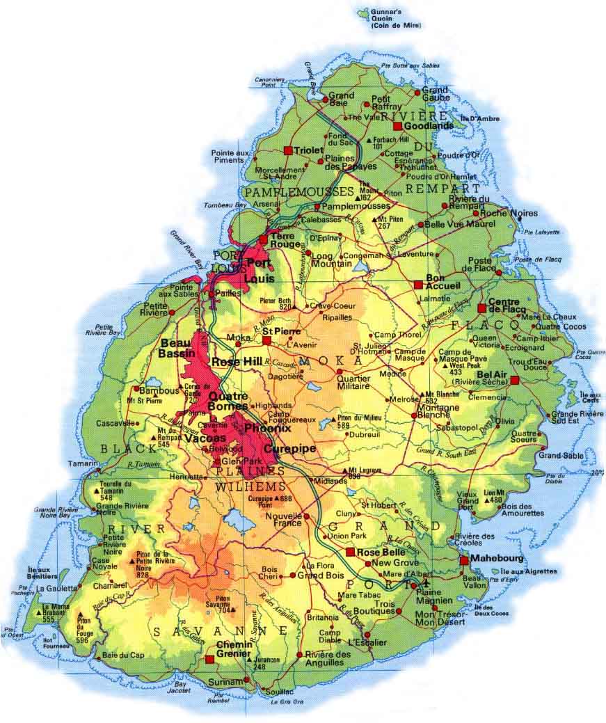
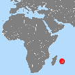 Moris li en lil volcanic dan losean endyen, ki fer 65km longer ek 45km larzer ki so pli gran dimansyon.Li sitye a 1133km a lwes Madagascar
 L'Ile Maurice fait partie de l'Archipel des Mascareignes qui est un ensemble géologique d'iles volcaniques dont l'Ile de la Réunion, l'Ile Maurice et l'Ile Rodrigues sont les plus grandes.
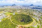
A Curepipe, le volcan de Trou aux Cerfs, éteint depuis 25 000 ans, est le plus bel exemple de ce passé volcanique : à 605m, il domine le plateau central de 400m à 600m d'altitude; son diamètre de 300 à 500m, sa profondeur de 100m et son point de vue magnifique à 360 degrés sur toute l'île en font un lieu touristique incontournable !
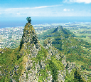 The Piton de la Petite Rivière Noire rises to 828m in the Black-River / Savanne chain to the southwest. The island has two other mountain ranges, that of Port-Louis / Moka which dominates the capital, and that of Grand-Port to the east, as well as a few isolated mountains. Something to delight hikers !
The main summits are: the Pieter Both (823m) surmounted by a rock which recalls the shape of a human head and the Pouce (811m) near Port-Louis; the Guard Corps (720m) near Ebene; Mont Cocotte (779m) and Morne Brabant (555m) to the southwest.
 Mauritius has lakes, the largest of which is Mare aux Vacoas which is located at an altitude of 569m, in a crater in the district of Plaine Wilhems, south of Curepipe: its surface area reaches 2.6km2. It serves as the country's main drinking water reservoir with 26 Mm3.
The Grand Bassin lake called Ganga Talao, is located at an altitude of 670m in an isolated crater in the district of Savanne. Sacred place for Hindus who see the reflections of the Ganges there, it gives rise to an annual religious procession in February or March: the Mahashivaratri or Great Night of Shiva.
Other lakes serve as drinking water reservoirs for the different regions of the island such as: La Nicolière (1km2, 5.3 Mm3, 252m, 1929), Piton du Milieu (3 Mm3, 442m, 1952), Midlands (25Mm3, 391m, 1993), La Ferme (11.52Mm3, 145m, 1914), Bagatelle Dam (14 Mm3, 382m, 2019) for example.
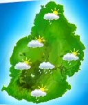 Mauritius has a hot and humid tropical climate, dominated by hot winds from the south-east, the trade winds. There are two seasons: winter, from May to October, is wet; summer, from November to April, is hot and drier.
Summer is a season prone to the formation of cyclones in the Indian Ocean: these temporarily influence the local weather, with an intensity that depends on the distance at which the cyclone passes: generally they cause strong winds and rain, more rarely heavy rains; they can also have devastating effects, such as cyclones Hollanda in 1994 (gusts of 220 km / h) or Dina in 2002 (gusts of 280 km / h)
Due to its altitude, the temperature on the central plateau is mechanically 4 to 6 ° C lower than that of the coast. The table below gives an idea of ??the typical temperatures observed during the year :
| Day/Night | Coast | Central Plateau |
|---|---|---|
| Winter | 26°C/18°C | 18°C/14°C |
| Summer | 32°C/25°C | 26°C/19°C |
